|
| Peaks and blue skies along the Sabino Canyon |
Yes, we have been
doing our weekly hikes, but sadly no – I have not been keeping up with our
blog. Blame it on the beautiful southern
Arizona weather. There are so many other
ways to get lost in the beauty down here, and none of them include sitting inside
on the computer. So, while I feel an
apology is in order….I just can’t bring myself to give one. I have been thoroughly enjoying the reason I
moved to Arizona in the first place - beautiful views, sunny skies, wonderful
warm temperatures, etc., etc., etc.
That being said,
I will try to catch everyone up quickly on the hikes I have done with the group. These include Golden Gate Loop Trail, Romero
Pools, Phone Line Trail, Madera Canyon, and Seven Falls. I will just give a brief description of the
hike and then add a few pictures for each one.
Golden Gate Loop Trail - Tucson Mountain Park
It is said it got
this name because early prospectors thought Gates Pass and the
mountain constituted the gate to the gold in the Tucson Mountains.
Golden Gate Trail circles Golden Gate Mountain but can also be combined
with other trails to form a loop that takes you back to the parking
lot. That is the trail we took - the Loop. The hike was
6.6 miles and really was relatively easy.
 |
| Golden Gate Mountain |
 |
| On our way |
 |
| Kirk and Chun |
 |
| Valentine's cactus - see the heart? |
 |
| Lunch! |
 |
| Heading back |
 |
Always willing to take one for the team!
Those are cactus spines in my leg.
|
Romero Pools in
the Santa Catalina Mountains
This hike is
considered a moderate plus trail. It is a total of five
miles long – 2.5 miles up with an elevation gain of 1000 feet and then 2.5
miles back down.
 |
| Beautiful cliffs |
 |
| Positively prehistoric! |
 |
| Well marked trails |
 |
| Is Gordy having second thoughts? |
 |
| Onward |
 |
| Besties - Gordy and LaNeta |
 |
| Our leader for this hike |
 |
| As long as I can see Sombrero Peak, I'm okay |
 |
| Taking a breather and searching for bighorn sheep |
 |
| At the pools |
 |
| Lead us home Jim! |
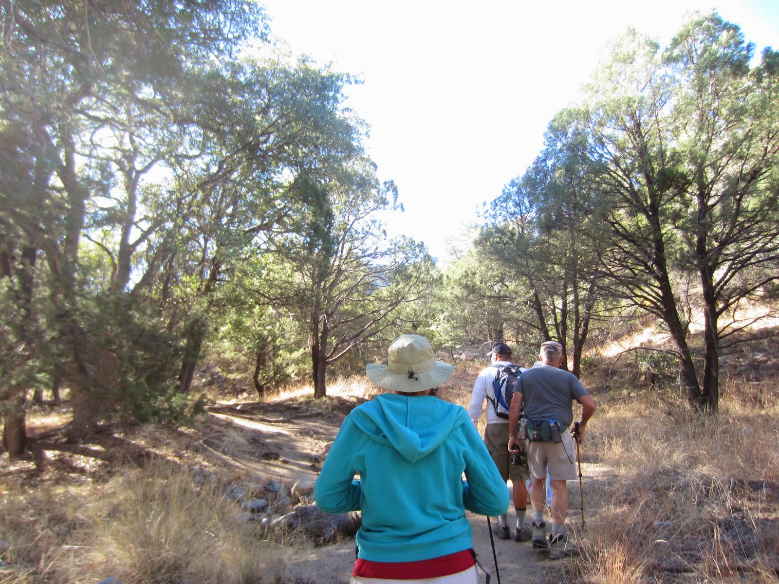
Sabino Canyon’s Phone
Line Trail
We took the tram
all the way to Stop 9, the trailhead for Phone Line Trail and hiked back to the
Visitor's Center. This makes the
hike a total of 5.5 miles. This is a challenging,
but very doable hike. You get pretty
high and then climb along the sides of the canyons, and then start a gradual
descent back down to the visitor’s center.
Sabino Canyon's Bear Canyon Trail to Seven Falls
 |
| Only the first of seven streams to cross |
 |
| A gorgeous day |
 |
| College kids carousing in one of the streams |
 |
| Hydrate, hydrate, hydrate |
 |
| Halo of a sun |
 |
| People everywhere! |
 |
| Splendid view of the falls |
 |
| Lunch break - we lucked out with a shady spot |
 |
| Clear view of Bear Canyon and the valley beyond |
Madera Canyon in
the Santa Rita Mountains
Madera Canyon is
located on the northwest side of the Santa Rita Mountains under
the towering Mount Wrightson (elevation 9453 feet)
the third tallest peak in Arizona and the tallest in the Santa Rita Range. We
hiked the Madera Creek Trail which was only about
six miles roundtrip, but filled with plenty of hiking challenges. Our adventure began at the
Whitehouse Picnic area and we followed along the creek,
on the Nature Trail. The
trailhead is at an elevation of about 4500 feet and we gained about 600
ft. elevation on the nature trail. This
is definitely one of my favorite hikes.
 |
| Linda and Kirk enjoying a moment together |
 |
| Linda and Kirk listening for - what??? |
 |
| Add caption |
 |
I love the nature trail, they even have names
on some of the trees and shrubs |
 |
| Greenery in the canyons |
 |
| It looks scary, but it was a friendly sun |
 |
| Mt. Wrightson |
 |
Some of the faces you'll see on the trails -
A LOT!!! |
See you on the trails......