|
| Our goal in the distance... |
Our hike this week took us to the Tucson
Mountains to have a try at Wasson Peak (elevation 4,687 feet), the highest
point in the Tucson Mountains. I must
admit right here and now that being the novice hiker, I was extremely
apprehensive about this hike. In the
year since I joined our neighborhood hiking group, I had heard many times about
Wasson Peak from my fellow hikers. Many
of them mentioned with pride having scaled to the top of Wasson Peak and some in the group had even pointed out the peak to
me when we were on various other hikes in the Tucson Mountains. I had pretty much talked myself out of trying
the hike when it was described as difficult.
I even had a chance to opt out of even trying because we scheduled 2
hikes for this week; one hike would include the entire group following the Sendero
Esperanza Trail until we crossed the Hugh Norris Trail. At the saddle, part of the group, because of previous obligations, would turn
back around and return to the trailhead, making that hike a total of 4 miles
round trip. The rest of the group would continue on the Hugh Norris Trail to
Wasson Peak. The total for this group
would be 8 miles and 1,700 feet elevation gain. I decided on the
longer hike…I felt I could at least try.
I mean, nothing ventured – nothing gained right? I could always sit at any point along the trail
and wait for the others to come back and join them on the way back down.
 |
| Off we go, with Gordy bringing up the rear |
We left our usual meeting place a little
earlier in anticipation of the hike taking more time. The weather was cool and overcast – perfect
for hiking. It only took us about 30 minutes
to reach the trailhead and get started.
The first part of the trail is the sandy
path of an old mine road. I must mention
that walking on sand that is gradually climbing in hiking boots is not the same
as being barefoot at the beach. It was
along this sandy path that we came across the largest jackrabbit I had ever
seen. It is also called a desert hare, but looked like a small deer to me. Does anybody remember Twilight Zone the
Movie? Remember the segment with the
little boy that could make things happen just by thinking them? They were having a magic show and he had this
one guy pull a rabbit out of a hat. When
he pulled the rabbit out, it was this huge, mutant, monster looking
rabbit. That’s what I thought of when we
saw this rabbit. I am posting a picture from Wikipedia just as a point of information - I did not take this photo. He was much too fast for me.
 |
| Wikipedia photo |
We were really ready for the next part of
the trail which is where we started climbing a series of switchbacks to the top
of the ridge where it crosses the Hugh Norris Trail. We gained about 600 feet on this first leg of
our journey. We were greeted with quite
an array of wildflowers and of course the stately saguaro cactus forest.


When we reached the third of several
saddles along the Hugh Norris, half of our group turned back.
We said our goodbyes and continued along the ridge through areas with
magnificent views. I noticed that there
weren’t as many saguaro cacti as we climbed higher. There was more grass and different cactus
such as ocotillo, prickly pear, mesquite, cat’s claws and of course my least
favorite cactus the cholla.
 |
| JoAnn and Gina leading on |
 |
| LaNeta, Gordy and Ernie going back |
I was getting pretty winded as we
continued our climb. Jim took over as
lead hiker with Gina right on his heels.
JoAnn and I brought up the rear.
I know that I mentioned more than once that I was tired. JoAnn even agreed with me once. We were getting close though….no turning back
or stopping now….I had to push on.
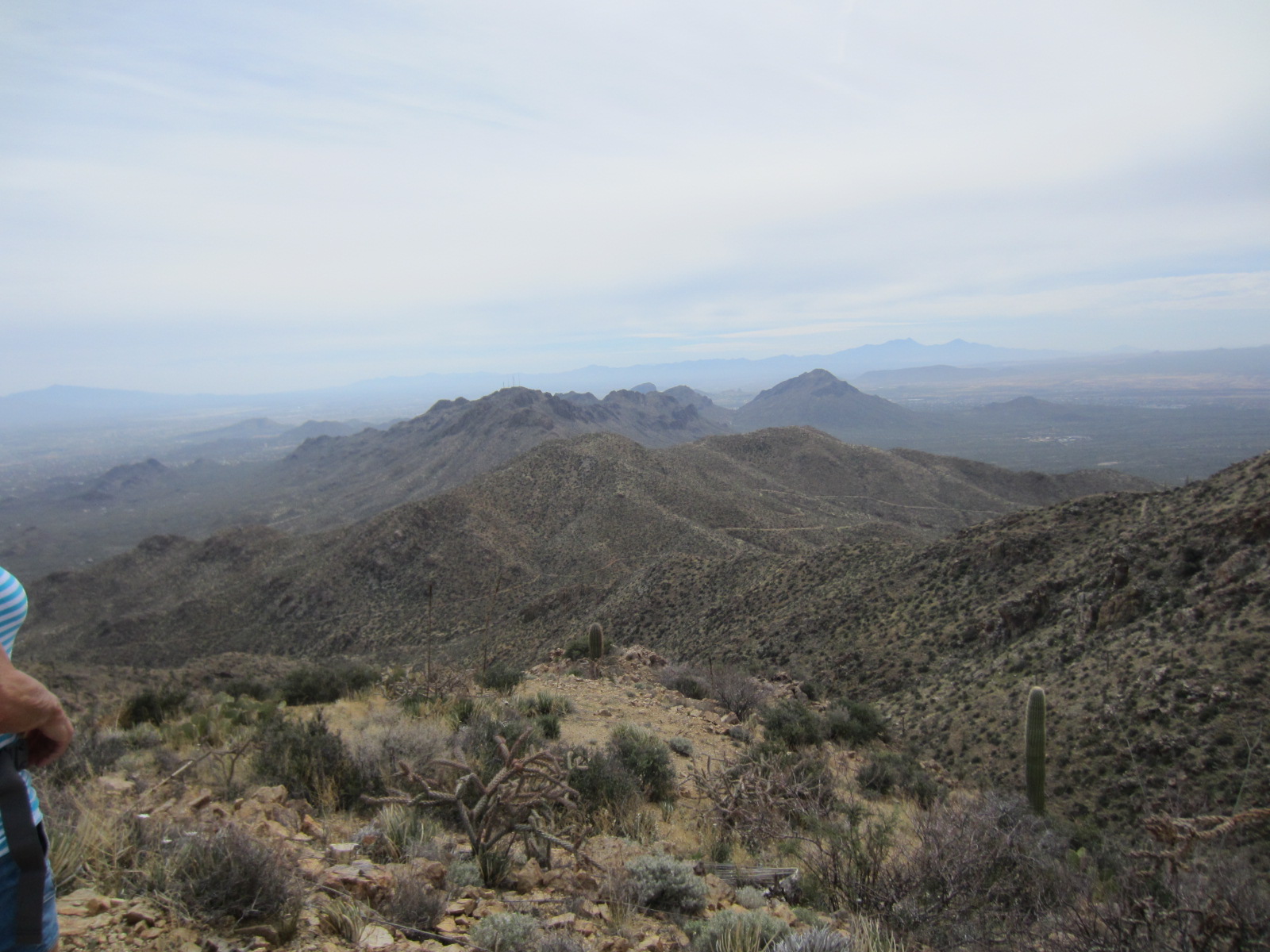
We finally reached the summit and even
though it was very overcast, we were able to see Brown Mountain and Golden Gate
Mountain to the south, and the Rincon and Santa Catalina ranges to the
east. I had made it! The novice hiker should at the very least be
considered an intermediate hiker now.
The feeling of accomplishment is indescribable. I really thank my group for putting up with
all my whining and complaining for the past months, and for getting me to a
point where I really feel proud of myself.
Love you guys!
Views from the top!
 |
| Jim and Gina waiting for JoAnn to sign the register |
 |
| Much needed rest and lunch break |
 |
| It was really worth the climb |
 |
| Look at me Ma! Top of the world! |
See you on the trails.....