 |
| View of Picacho Peak from the trailhead |
Okay sports fans, this is it. The very name Picacho Peak has managed to
strike fear in my heart for the past year.
Hearing people in the group mention having to pull themselves up the
steep trails using cables and lower themselves the same way, let me know that I
am still the novice hiker. Like a child
anticipating the downward thrust of a roller coaster - my stomach tensed up,
knowing that sooner or later JoAnn was going to send out one of our weekly
email notices and name Picacho Peak as our destination for the week. Well, it finally happened. I got THE email.
 |
| Jim, Gina and JoAnn checking out the rules |
 |
| Getting started |
Our group this week was small; just
five brave souls would tackle Picacho.
We were really happy to have Ernie back in town for this one because he
had tackled it before. The weather was
cool and windy and pretty cloudy when we headed out, but we didn't let that
deter us. In the year that I've been
hiking with this group we have only been rained on once, and cancelled because
of rain once. We were certain it would
clear up.
You can see Picacho Peak from quite a
few spots in Tucson if you are anywhere near I-10. It has a very distinct look and actually was
used for many years as a landmark. I was
quite surprised when we parked at the trailhead and looked at the mountain from
that side. It has quite a different look
to it than what I am used to seeing on the highway.
I was quite nervous starting out, but
not afraid. It’s hard to explain how I
can have a fear of heights – which I definitely do – and still do some of the
sporting things I have done. I have gone
hot air ballooning, para-sailing and now mountain trail hiking. Go figure….
Beautiful Scenery


 |
| Beautiful rock face |
 |
| More rock face |
 |
| The Trailhead |
Picacho Peak is a state park
located about 50 miles west of Tucson on I-10.
It was one of only a handful of places in Arizona where an actual Civil
War battle was fought, and they have reenactments every year at the park. The
total elevation is 3,374 feet. We were
to hike the Hunter Trail which is the most difficult of the 5 trails available
at the park. The elevation at the
trailhead is 1,784 feet. The elevation
gain to the top is 1,401 feet, but the total accumulated gain is 1,880 feet.
This hike is the closest I have ever been and the closest I would ever like to be to rock climbing. There were spots where we were actually
crawling on all fours trying to find hand holds and toe holds. I probably should have a lot more pictures,
and maybe the next time (if there is a next time) I will feel comfortable
enough to stop and take more, but this time I was concentrating on the trail.
 |
| On the trail again |

Picacho Peak has been a landmark and
has helped to direct travelers and even early explorers to the Arizona
Territory such as Father Kino and Juan Bautista De Anza. In 1932, a 40 ft. light beacon was installed
at the top of the peak to help air traffic navigation. Hunter Trail along with the handrails and
planks was built by the Civilian Conservation Corps to ease servicing the
beacon. The Boy Scouts have maintained
the trail and rails since it was built.
The first section of the trail took us through truly desert setting with cactus and loose rock and some pretty interesting rock formations.
 |
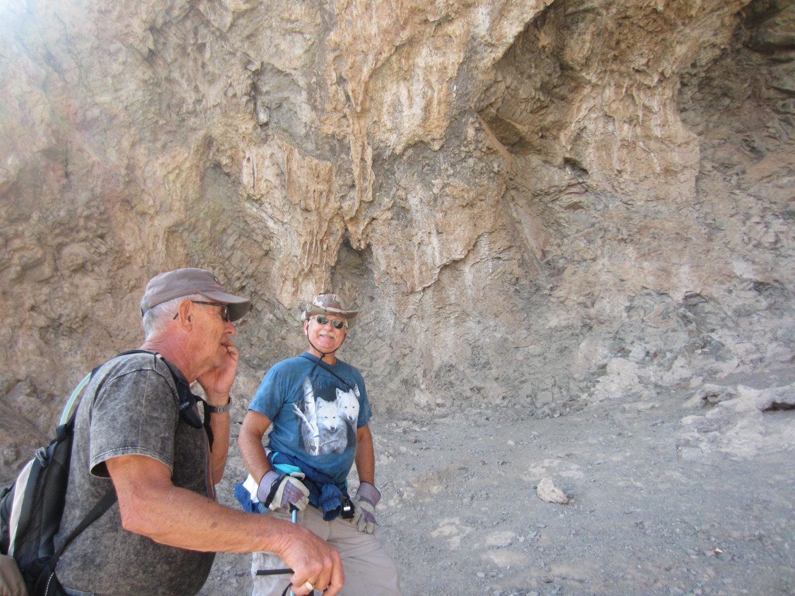
| Checking out the info at the saddle (and resting) |
We reached the saddle,
with an elevation of 2,960 feet with very little trouble at all. It was here that the wind picked up. Oh, just as an aside, we met a group of 3
young men just as we were starting out at the trailhead who told us they had
just come back down from the top. They
mentioned how windy it was at the saddle and when we inquired how it was the
rest of the way after the saddle and on to the top, they confessed that they had
not gone the whole way. They were in awe
that our little group would be attempting the entire hike. Well, back to the story....
Maneuvering The Cables
 |
| Gina waving, JoAnn and Ernie |
 |
| Yes, that's me behind JoAnn... |
 |
| Ernie's best side? |
 |
| So Scary! |
 |
| Don't look down! |
The scenery here at Picacho, although
much different from previous hikes, was just as beautiful. Some of the rock formations were awesome. In some spots when you couldn’t see any of
the parking or camping areas below, it really seemed quite prehistoric. We continued after a brief rest and water
break at the saddle and the trail led us to the backside of the mountain. This is where the real test began. We had to climb down with the use of cables almost
400 feet. This is where that total
accumulated gain comes into play. You
gain a little and you lose a little.
There are no straight paths up the side of a mountain. It is combination of up and down and plenty
of switchbacks.
 |
| Cable to the summit |
 |
| The last big push |
Hunter Trail to the peak is only 4
miles round trip, but it was the most difficult hike to date for me. The last push to the summit was one of those
things that you have to tell yourself – “there’s no turning back, there’s
nowhere to stop, people can’t get past you on this narrow, winding, cable
filled trail….you have to go on” – and go on I did. We sat for just a few minutes and had our
lunch. The views were awesome, but the
wind was treacherous! Gina said she felt
like she was going to be blown off the top.
I didn’t feel like that, but I knew that there was danger in getting too
comfortable. It would just make it that
much harder to start down.
 |
| At the top |

Usually the trip down on our hikes is really
a piece of cake. Not so on this
one. Every step of the way was just as
challenging as the climb up. In one of
the spots with the cables, it was so steep the best way to get down was
backwards with hands on both cables. You
have not lived until you are repelling yourself down a mountain backward. OMG!
There was a spot where there was nowhere to grip with your feet. You had to just trust that people before you
had gone and made it, and you just had to let your hands slide down the cables
until you reached a ledge.
Unbelievable! I bought a new pair
of hiking shoes 3 weeks ago. I was glad
to have the extra grip on the soles, but I just about wore out the toes looking
for something to grip. While you’re
laughing at me, save a chuckle for JoAnn, whose legs were too short in some of
the spots to reach the rocks or steps on the way back down and had to resort to
sitting and scooting to lower herself and ended up with a little worn spot on
the seat of her jeans.
We reached the trailhead and parking
lot in a little over 21/2 hours from the top.
We shared high fives all around for the wonderful feeling of
accomplishment.
More Pics From The Trail
 |
| Ernie surveying the view below |
 |
| Gina - always out front |
 |
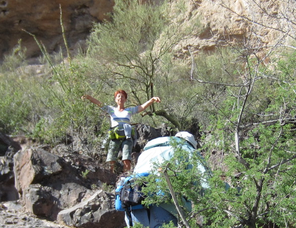
| Me being silly, before things got REAL serious |
 |
| Really Jim, a phone call? |
Yes, this was the monster hike that
they have told me about. It lived up to
all the hype as the most difficult hike of our group and I have all the respect
in the world for it. I wouldn't have missed it for the world.
The novice hiker is
humbled…..and sore as heck!
 |
| Me at the summit. What a view!!! |
See you on the trails…


That hike does have great views, but I dont want to go to that one. Jaelynn say I cant do yhat one. Lol.
ReplyDeleteTell her I can relate. I didn't think I could do it either...but I did!
ReplyDeleteWe can do it!!!
ReplyDeleteAll I can say is Wow!
ReplyDeleteSometimes "Wow" is all that is necessary. lol
ReplyDelete