If you
asked 10 people why they hike, you will probably get 10 different answers. Personally, I hike to push my limits both
mentally and physically, to take in the beauty of the trails and for the camaraderie
of hiking with friends. I have a fear of
heights, so hiking mountain trails is a real rush for me when completed. Whatever the reason, I am just happy that
hiking season here in southern Arizona is back in full force.
Our group
started out at about 8:30 on a beautiful Tucson morning with temps in around 50
degrees. We had a nice sized group of
11 – JoAnn, Sally, Esther, Judy, Gina, Connie and me made up the women and the
guys were Jim, Ernie, Rob, Mike.
Our hike
this week took us to the David Yetman Trail in the Tucson Mountains. Our group is just getting started for the
season so we are just doing 4 or 5 mile hikes to start. Our plan was to hike the trail to the Bowen
House and just a little beyond, then turn around and hike back to the stone
structure to have our lunch.
 |
| Jimbo |
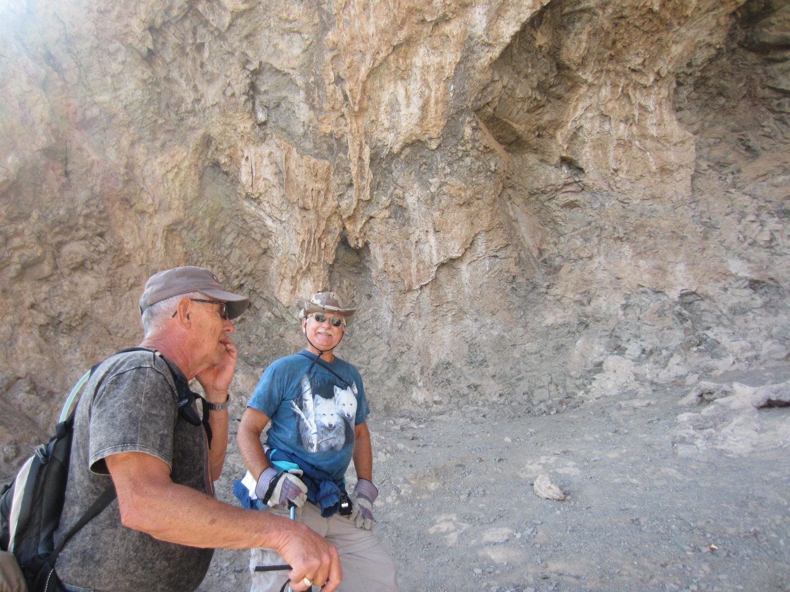
This trail
is named for David Yetman, Ph.D, (research social science) former City
Councilman and host of a local Public TV program called The Desert
Speaks. The trail is listed as easy to moderate and several in the group
have been on this hike many times. There
are a couple of hotels in the area and one of the amenities offered is hiking,
biking and horseback riding on the trails in the area and it seems some of the signs
must have been confusing because many of them had been pulled out and lay on
the ground on the side of the trail.
Never fear, we have “fearless leader” JoAnn to lead the way.
 |
| Beautiful scenery |
 |
Joann giving the lay of the land
|
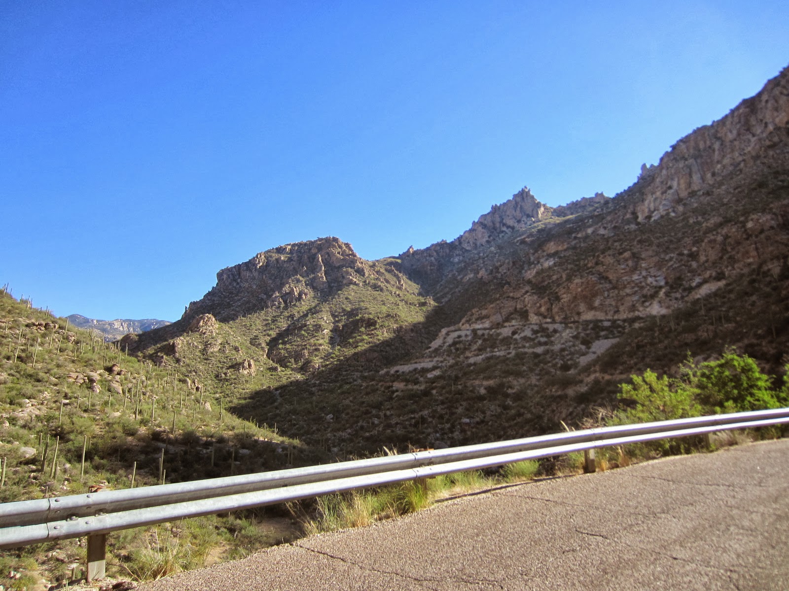
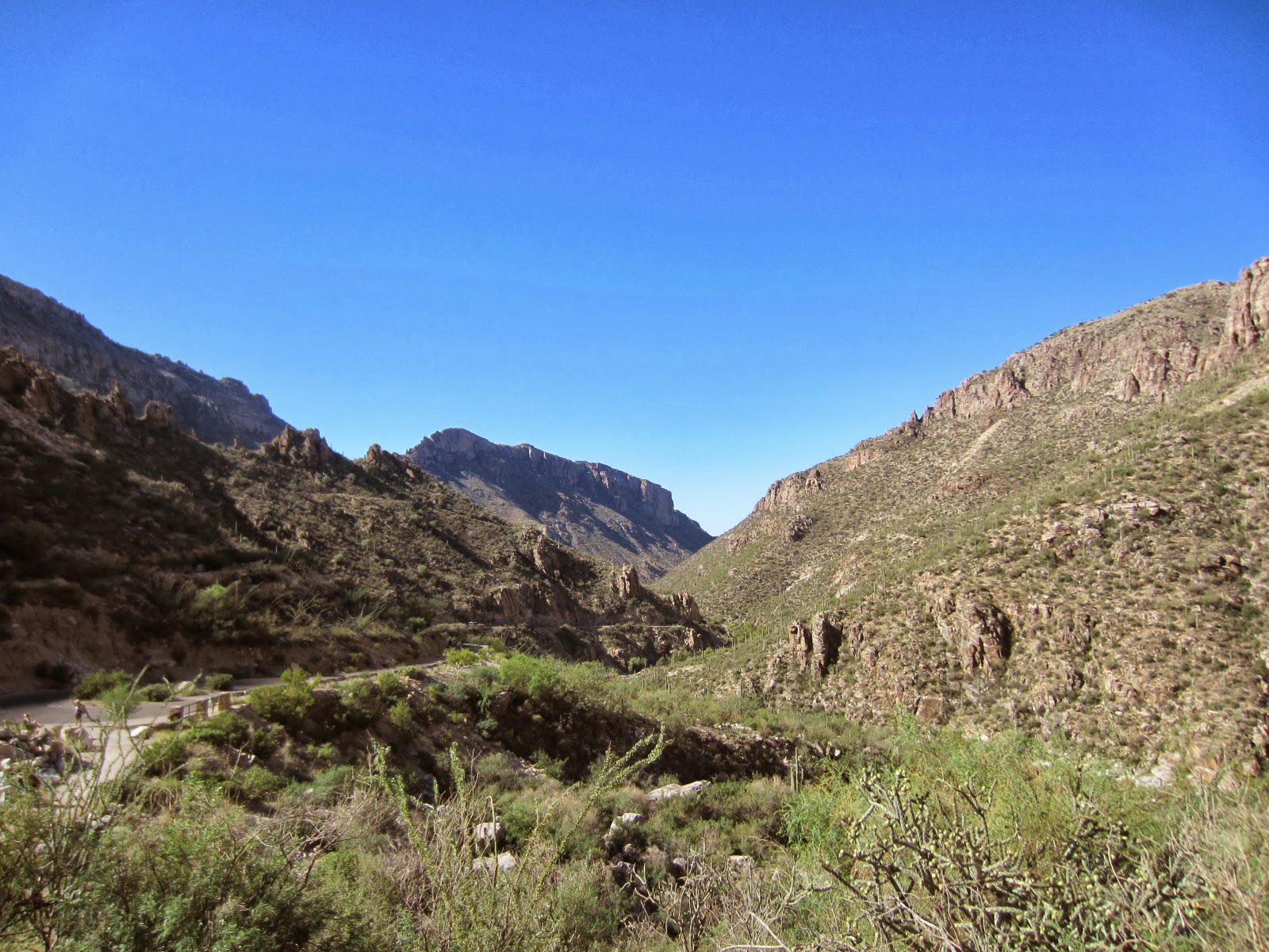
We made
pretty good time over mixed terrain – large stones, gravel, sand, and hard-packed dirt. The scenery on these trails – even the
easiest of outings – is absolutely stunning.
Anyway, I found out that the Bowen House
has a direct link to me! I am from Illinois, and Sherry Bowen,
a typesetter and later city editor for the Arizona Daily Star, came from Rockford,
Illinois and moved to Tucson in the late twenties with the hope that the change
in climate would help his wife’s serious heart condition.
The Bowens
first lived in Tucson but soon decided to homestead in the Tucson
Mountains. He had the home built of native stone in the early
1930s. They lived in a cabin while the house was being built and
after moving into the home eventually expanded their claim to 2000 acres.
 |
Front: Esther, Judy, Gina & JoAnn
Rear: Jim, Sally, Mike, Rob, Ernie and Connie |
Ruby Bowen kept a diary of her first year in the Tucson
Mountains. The diary makes several references to the wildlife that
existed in the area including Javelina, deer, wild horses and sheep. She also mentioned a mountain lion that would
come near the house when she was cooking meat and that one time attempted to
get in a window. Maybe the one the group is peering out of above.
The
Bowens left Tucson in 1944 and moved to New York City where Sherry Bowen worked
for the Associated Press. The valley and their homestead
became part of Tucson Mountain Park in 1983.
Vandals started a fire which destroyed a large portion of the house years ago, but you can still
make out the marks where the rooms divisions were. There were 2 fireplaces and you can make out
where the toilet was and remnants of the stone bathtub are still there. Also, there are pipes where water came in for
the shower and in the kitchen area for the sink. None of us could figure out where they would
have gotten water pumped in from though, or if they had a water tank of some
kind out in the back. Anyway, we agreed it was a nice piece of
history in the area.
 |
| Walking through history |
 |
| The men at the turn-back point |
We had reached
the stone house in record time, and after visiting with a small group of hikers
from Green Valley continued on our way toward the crossroad in the trail. After resting and having water at our
turn-around point we all started back.
The ladies started out first with Gina leading the way. We were having a great time – hiking,
talking, and taking in the beautiful views – when we noticed the guys were not
behind us. Hmmmm...
 |
| Gina way out front (too far out front) |
 |
| Connie, JoAnn and Esther |
Before
long we started noticeably climbing along the trail. JoAnn mentioned that we were no longer on the
trail we had come on. Still not worried too
much we continued to climb. We stopped
to rest and noticed we could see the men way down below on the original
trail. We waved and yelled but they were
too far away to hear us. Mike later said
he saw us, but wasn’t sure it was our group because why in the world would we
be way up there?
Well, we had gone so
far on this alternate trail we decided to see if it would lead us back. Short answer – no….it just ended.
Oh well,
we turned around and started back to the crossroad. Before we got all the way back, JoAnn spotted
an area that didn’t look to difficult to maneuver and we decided bushwhacking
was the way to go. How exciting! Here we are, a group of women alone, bushwhacking! Okay, I may be sounding a little melodramatic
but it was fun.
 |
| Heading off-trail! Hiking in it's truest form - Bushwhacking! |
We made
it back to the original trail and continued on to the stone house. We had added an additional 2 miles or so with
our off-trail adventure so we got a little more of a workout then the men
did. LOL
 |
| This is how we found the men after we got back...SLACKERS! |
 |
| Gina and Judy resting up after eating |
After finishing
our lunches and resting up we headed back to the trailhead and home, another
successful hike under our backpacks.
 |
| Heading back |
 |
| Sally - styling and profiling |
Oh yes, how can I forget? If you ever see the fickle finger of fate attached to the arm sticking out of the pink shirt below....RUN!!!
 |
| Gina pointing the way again? NOT! |
See you
on the trails!
 |
| Me sampling the stone tub. Is there a snake in that hole? |
.JPG)
.JPG)
.JPG)